GIS stories
The Melbourne-based software firm is stepping up overseas growth as Peter Holmes takes charge of operations, customer strategy and expansion.
Landowners weighing solar and wind projects can now use a free tool to assess farm compatibility before negotiations advance.
Fragmented drone systems are slowing emergency decisions as agencies juggle multiple platforms, sensors and command tools in fast-moving incidents.
The update aims to ease manual data entry and give maintenance teams better visibility as organisations struggle with fragmented asset records.
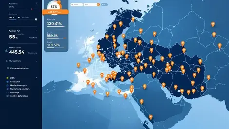
Retailers and planners in three markets will get finer consumer mapping as GapMaps adds Panolytica’s grid-based segmentation to its data marketplace.
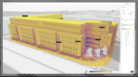
Architects can now carry schematic building models into Revit without rebuilding them, cutting rework as projects move from concept to detail.
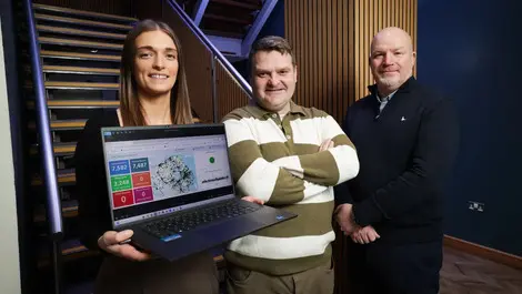
Contractors in Northern Ireland can now get electricity maps within an hour, reducing the risk of strikes and power cuts.
Rising power and supply bottlenecks are forcing developers to treat data centres as long-term civic infrastructure, not standalone assets.
Tech Mahindra and CS TECH Ai launch global geospatial AI and digital twin push targeting infrastructure and smart city projects worldwide.
Safe Software named niche player in 2025 Gartner Magic Quadrant for Data Integration Tools, its sixth consecutive appearance in the report.
Avoided flood losses in Manhattan's Rockaway Peninsula could hit USD $800 million, strengthening the case for resilience spending.
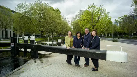
The interactive route gives schools and the public access to archive material, helping them trace the Grand Canal's history from Dublin to Shannon Harbour.
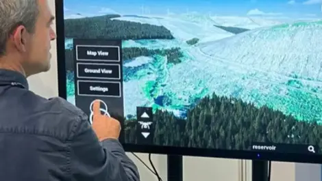
Communities will be able to judge the visual impact of planned infrastructure sooner, as a 3D consultation tool is rolled out for wind farm talks.
The Dublin event drew 450 delegates as Ireland's infrastructure planners turned to location data for housing, transport and utilities decisions.
King's Foundation teams up with FormationQ on a three-year quantum planning pilot to guide sustainable expansion in six cities.
Woodland carbon investors could gain faster verification as New Gradient’s machine-learning system aims to replace manual surveys with year-round monitoring.
Used by more than 20,000 organisations, FME has been recognised for simplifying data access as Safe Software expands into AI and digital twins.
Up to 500 attendees will hear how geospatial data is being used to plan upgrades to Ireland’s energy, transport, broadband and water networks.
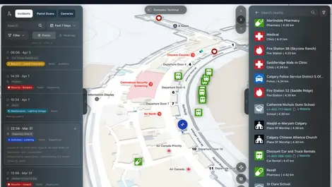
Mappedin will use fresh funding to extend its indoor maps beyond single buildings, giving responders and venues shared location data.
Lucion has embedded in-house AI into its NexGen platform, promising continuous, data-led compliance oversight for complex UK estates.


.webp)